Hiking Adventures
Eco Trail
Mount Ulap, Gungal Rock
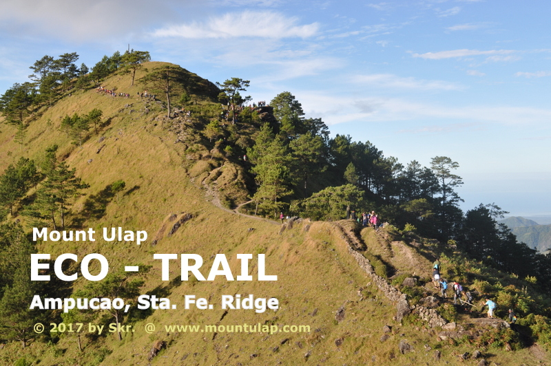
"Mount Ulap Eco-Trail ❌ a mountain path located in Itogon Benguet with a length of 9.4km winding along the Ampucao-Santa Fe mountain, requires 4-6h of a hike. "
Welcome
to
Mt. Ulap Eco-Trail
Experience and Discovering the cold Cordillera's Mountain climate during hiking at Mount Ulap - Eco Trail.
📌 Whatever you are looking for?
the Mount Ulap Eco Trail has it.
Mount Ulap Summit is technically the easiest to climb.
You don’t need ropes, or special mountaineering gear, or even any previous mountain climbing experience.
✅ Plan your next day hike and make the most of your day during your Mount Ulap Sunrise Voyage and experience breathtaking live views of the rising sun over the Cordillera Mountains at daybreak.
To start your day hike tour is at the essence the answer is given at the website, on the way to Mount Ulap Summit when to start at Ampucao.
🚩 Mount Ulap Eco-Trail had become a modest hiking destination between November and June.
On the way
to
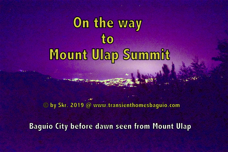
Mt. Ulap Summit
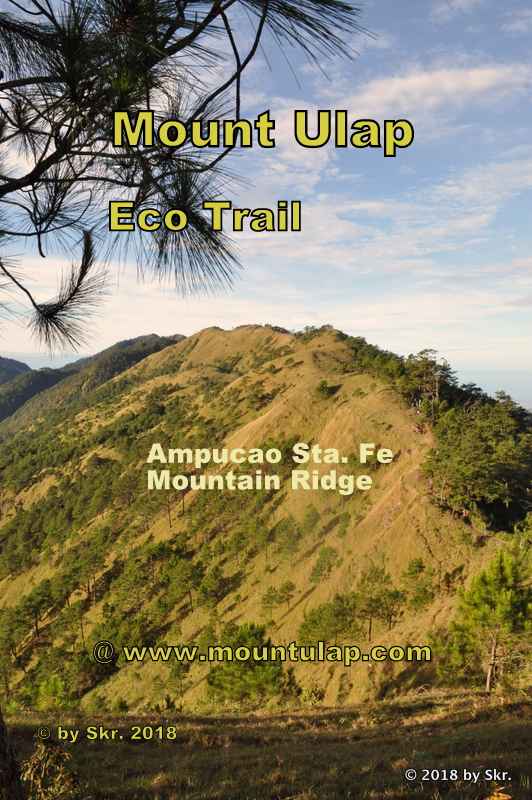
Welcome to my journey on the way to Mount Ulap Summit along the Ampucao Sta Fe Mountain ridges.
📌 From the sun-soaked beaches of Palawan to the provincial city of Laoag City in Ilocos Norte, the Philippines, thousands of tourists across the Philippines are finding their dream hiking vacations every year here at Mount Ulap Eco-Trail .
✅ Experience the rising sun on a Sunrise Voyage over the Cordillera Mountains in various locations and hike over the sea of clouds along the ridges of the Ampucao Sta Fe mountains on the way to the Summit of Mount Ulap .
🚩 "So let's do a little calculation to achieve what is our intention."
To witness the Sunrise over the Cordillera Mountains along the way of the Eco-Trail at different locations.
On the Eco-Trail
to
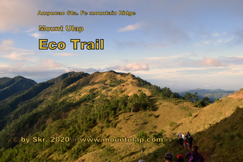
Mt. Ulap Summit
Forgotten for many decades. An old mountain path that meandered high in the Cordillera Mountains.
📌 Forgotten for many decades.
An old mountain path that meandered high in the Cordillera Mountains through this remote, ancient mountain range was only known to the hill tribe and shepherds who lived there.
✅ The Mount Ulap Eco-Trail is just 40 min away from Baguio City Burnham Park, a well-known Landmark and Tourist attraction of the mountain city the Summer Capital of the Philippines, Baguio City.
🚩 Important note: Since the Eco-Trail relies on the generosity of private landowners and the cooperation of many public land administrations, backpackers and day hikers have to leave the mountain trail as clean as they found it.
A Day Hike
on
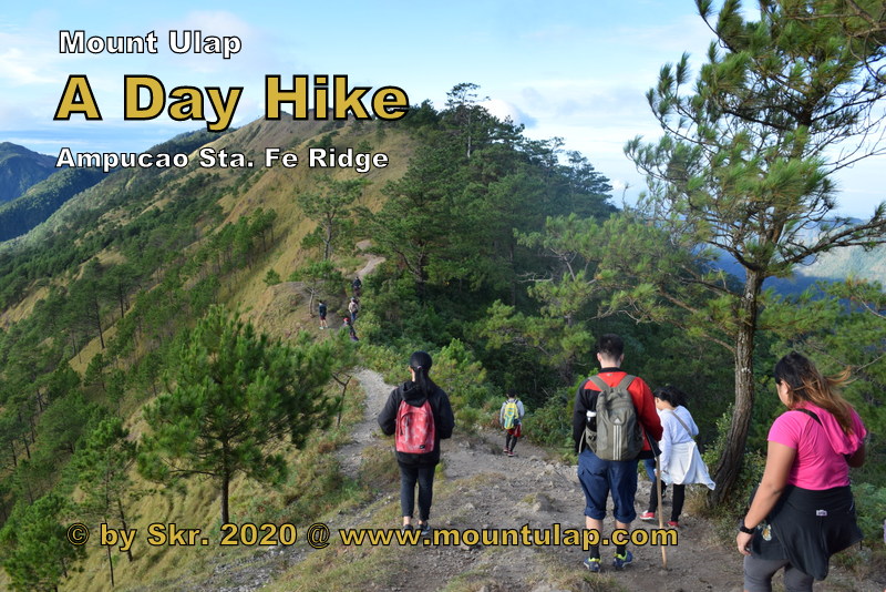
Mt. Ulap Eco-Trail
Your day hiking trip on Mount Ulap Eco-Trail could be long or short, commercial or social.
📌 The Cordillera Mountain Range is home to some of the highest mountain peaks in the northern Philippines, and a dramatic and breathtaking alpine landscape awaits you on a day Hike along the Mount Ulap Eco-Trail is just 40 min away from Baguio City Burnham Park, a well-known Landmark and Tourist attraction of the mountain City of Baguio City.
✅ The Ampucao Sta Fe ❌ Mountain range is located in Itogon Benguet between Ampucao and Sta Fe.
The ridge range from 1400m up to 1846m with the highest peak of Mount Ulap Summit , which is easily accessible without ropes, and no mountain hiking experience is required.
🚩 Your day hike excursion on the Eco-Trail will be 9,4km long. Your hiking time will be between 4h to 6h, depending on our hiking speed.

Sunrise-Voyage at dawn
on the way to
Mount Ulap
A Sunrise-Voyage, at dawn on the way to Mount Ulap Summit
📌 Sunrise-Voyage, and after arriving at the Corral Rock formation, which is the first resting place, a destination in itself is one exclusive place to captures the Sunrise before dawn.
✅ Night adventurous and seasonal hikers who hiked the Eco-Trail sat on the Corral Rock and waited for the sun to rise in the distant mountain ranges still covered in the Sea of Clouds
🚩 Have a break, relax, open your heart to and let the dreams start to soar.
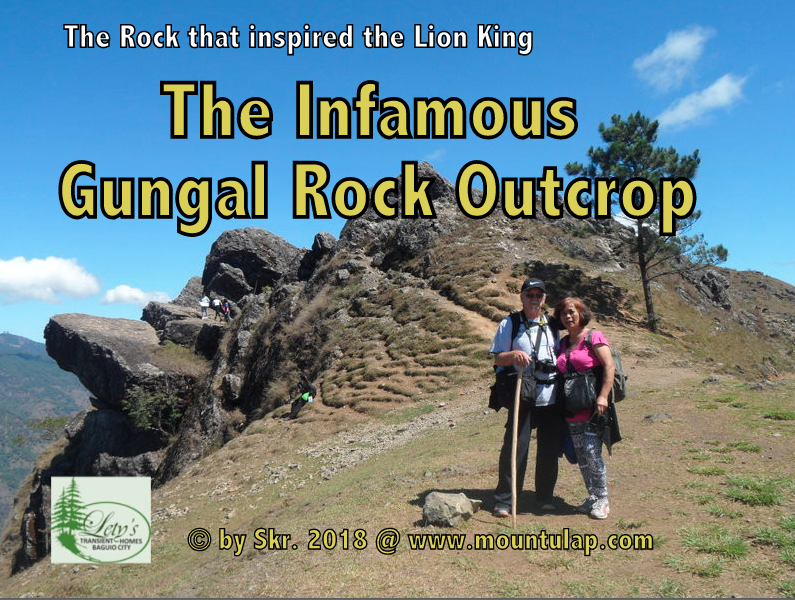
Gungal Rock
the
Infamous Rock Outcrop
A Gungal Rock the visual highlight on the Mount Ulap Eco-Trail along the Ampucao Sta. Fe Mountain ridges
📌 It has always been a unique challenge and dreams for many climbers, mountaineers, or day hike adventurists some of whom have deserved to climb their heights at the crack of dawn.
✅ Two seniors ascend on a 3-hour hike and conquer Gungal Rock eventually. You will reach Gungal Rock, a mountain outcrop, by hiking an old 5.4 km mountain trail that winds through this remote ancient mountain range along the Ampucao Sta. Fe. Ridge in Itogon, Benguet, Philippines.
🚩 Just relax and rest during your day hike at the famous and acclaimed Gungal Rock, snap a return ticket photo of a moment that otherwise has passed.
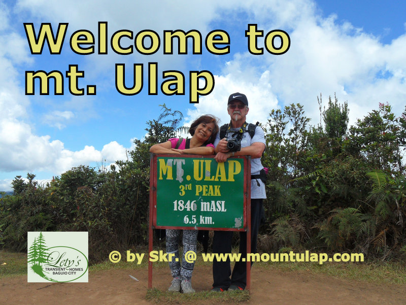
Summit
of
Mount Ulap
Remember that ascending to Mount Ulap Summit is optional, but getting down to Sta Fe exit point is mandatory.
📌 Walking in the footsteps of history's intrepid herdsman and mountain peoples and explore along the mountain path passing the Corral Rock outcrop, the Ambanaw-Paoay Peak, The Plateau, the Schauinsland Rock, and the infamous Gungal Rock. Gungal Rock formation up to Mount Ulap Summit.
✅ Two seniors ascend during a 4-hour day hiking tour to conquer the summit and finally reach the summit marker of Mount Ulap.
Hiking the Eco-Trail, to Mount Ulap Summit, is not an insurmountable hiking path.
Seniors and small children have already proven this.
br
🚩 A moment of relief to relax and take a rest during your day hiking tour to the Mount Ulap Summit, snap a return ticket photo of a moment that otherwise has passed.

The Eagle
has
Landed
A Walk through the beautiful Cordillera Mountains,
and discover the folklore of the mountain peoples.
📌 Tales were once told of an eagle huddled on top of the mountain on Gungal Rock.
According to the beliefs of the people and shepherds who live in the wild mountain regions around the Gungal Rock. formation, there is a cave in a cliff where the eagle nestled.
✅ The Mountain people believe in the existence of unseen beings that emanate from the Skyworld and the underworld. That these unseen beings are called spirits thought to have power over man.
🚩 Join me on my voyage to walk through the beautiful Cordillera Mountains. On the quest to discover the folklore of the mountain peoples and the Mountain Spirits & Myth of the hill tribes.
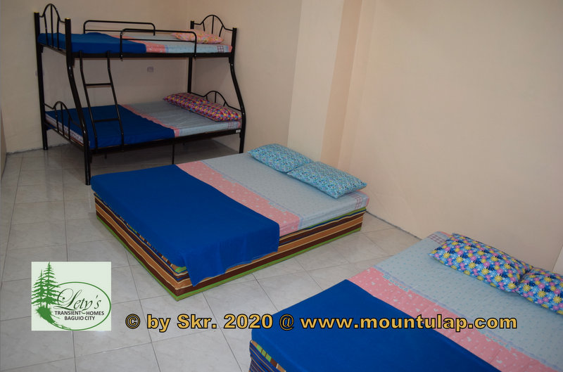
Transient House
near
Mount Ulap
Affordable & Budget-Friendly Accommodation
in Baguio City
near PMA, Loakan Baguio Airport,
Camp John Hay, Mt. Ulap
📌 After a day of exploring 🚶the Eco-Trail, what better way to reward yourself than by relaxing at a cozy Transient House
✅
🚩 Lety's ❌ Transient House near Mt. Ulap is the perfect place for families and groups of up to 40 guests.
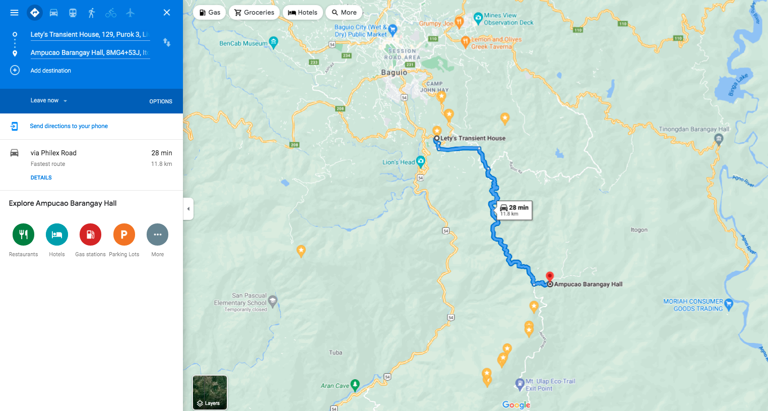
🚩 Lety's ❌ Transient Homes in Baguio is a 28-minute drive from your destination, Mount Ulap Eco-Trail, and proudly calls itself a friend of the Eco-Trail.
